-
Heritage Area At a Glance
-
Swallow Falls State Park
Categories
Forests & ParksBikingCabins & LodgesCampingHikingParks, Nature Centers & RecreationTrails
About Us
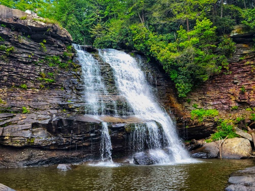
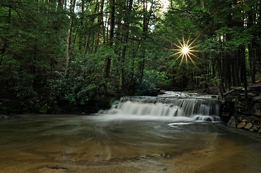
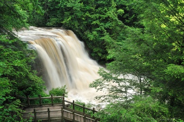
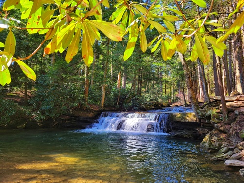
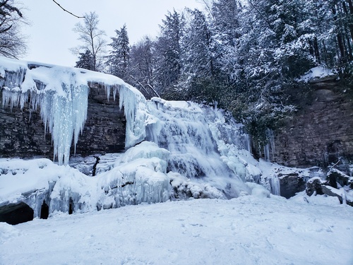
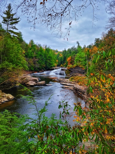
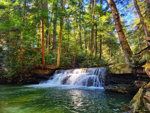
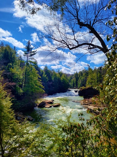
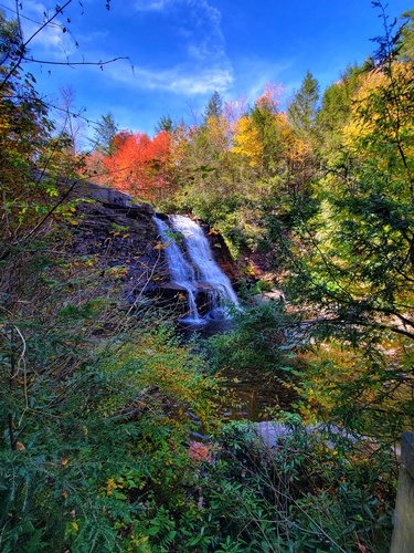
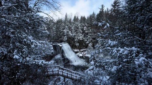
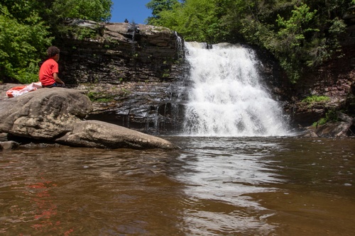
6 mi north of Oakland, Swallow Falls State Park stretches 257 acres and contains some of Maryland's most breathtaking scenery and waterfalls including Tolliver Falls and, Maryland's highest waterfall at a crashing 53 feet, Muddy Creek Falls.
Visit parkreservations.maryland.gov or call 1.888.432.2267 for camping information
**Swallow Falls Entrance Road Update (UPDATED 2/20/25): Alert: A temporary one-lane bridge has been placed on the entrance road of Swallow Falls State Park. All traffic exiting the park must yield to traffic entering the park. Please be patient and follow all posted signage. If the line of traffic extends to the main road, do not block the road. The Tolliver bridge replacement is scheduled for spring (2025), the park entrance road may be closed during time of construction. We will not be accepting campground or shelter reservations from April 1st until May 22nd.
CLOSURE NOTICE (UPDATED 02/20/25): Alert: The paving project has been rescheduled to 2026. Beginning May 1, 2026 through December 2, 2026 contractors will be paving and replacing culverts throughout Swallow Falls State Park. The campground and the shelter will be closed during this time. Until we receive a more detailed timeline for construction, we will not be accepting reservations during these dates. Guests are encouraged to check https://parkreservations.maryland.gov/ for updates. We apologize for the inconvenience.
Images
Gallery Image muddy-creek_adj.jpg

Gallery Image hikers48_lowerres.jpg

Gallery Image tolliverfalls_marcia_a.jpg

Gallery Image swallow-falls-winter_lower.jpg


Gallery Image tolliverfalls_Marcia_b.jpg

Gallery Image calhopun_chmaber_0048_lower.jpg

Gallery Image tolliver-falls_lower.jpg

Gallery Image swallowfallsstateparkphoto.jpg

Gallery Image swallow-falls-scenic_lowest.jpg

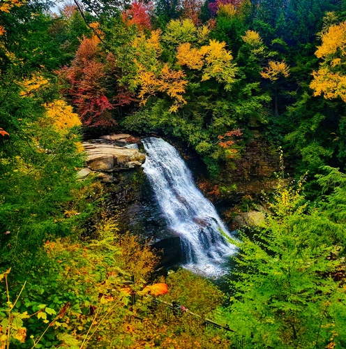
Gallery Image Best-Swallow-Falls-Cloudy_lower.jpg

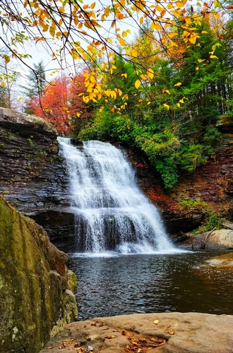
Gallery Image Muddy-Creek-Falls-Autumn-21.jpg

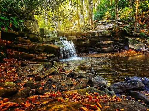
Gallery Image best-fall-tolliver-falls_lower.jpg

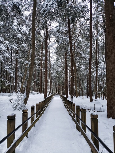
Gallery Image 20210214_174155-01.jpeg

Gallery Image winter-horizontal-adj.jpg

Gallery Image 20211014_140903-01-01.jpeg

Gallery Image 20211014_133620-01.jpeg

Gallery Image 20211014_131720-01.jpeg

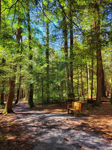
Gallery Image bench.jpeg

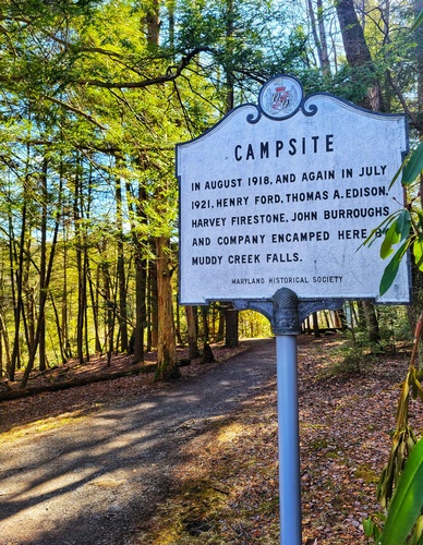
Gallery Image campsite.jpg

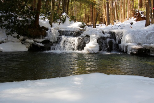
Gallery Image winter%20ad%207.jpg

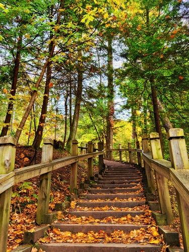
Gallery Image 20211014_141505-01.jpeg

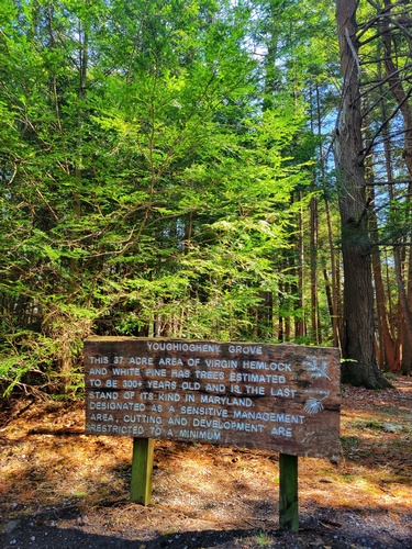
Gallery Image 20220311_104219-01.jpeg

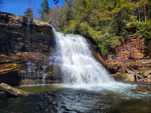
Gallery Image muddy%20creek.jpeg

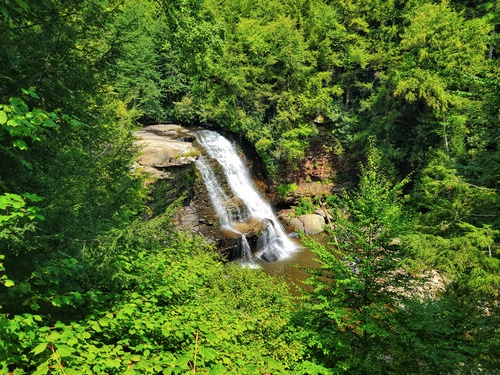
Gallery Image 20210812_115730-01.jpeg

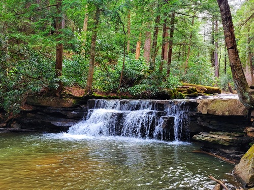
Gallery Image 20230414_162131-01-01.jpeg

Gallery Image 20220311_111437-01.jpeg

Gallery Image swallow%20falls.jpeg

Gallery Image 20231011_150517-01.jpeg

Gallery Image swallow-falls-low-allegany-media.jpg

Gallery Image MuddyCreek0074.jpg

Tell a Friend
